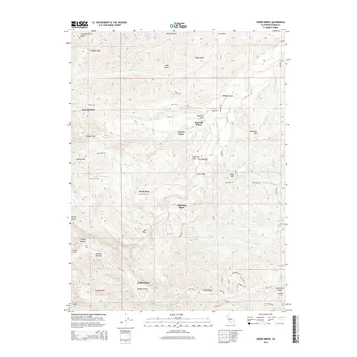
2015 Map of Oxbow Bridge
USGS Topo · Published 2015About this map
Hercraff Place and Pete Hoff Place anchor this 2015 study of the high country west of the Sacramento Valley. The landscape is defined by the complex drainage systems of the S Fork Cottonwood Cr and its numerous tributaries, including the Cold Fork and Guyre Cr. The persistence of historically named homesteads, such as Fowler Place and McCartney Place, alongside prominent terrain features like Table Mtn and Rocky Ridge, provides a clear view of how early settlement patterns followed the natural breaks in the topography. Remote canyons such as Cracker Canyon and Jackass Canyon contrast with the open expanses of Mud Valley and Manzanita Flat. Local infrastructure is marked by the crossing at Oxbow Bridge and a network of winding paths including Vestal Rd and Pettyjohn Rd.
Find a feature on this map
70 named features on this map. Tap any name to fly to it.
Don’t see what you’re looking for? This feature index may not catch every label — zoom into the map to look around manually.
Map Details
Editions of this 2015 Oxbow Bridge Map
This is the sole edition of this map. No revisions or reprints were ever made.
Other maps of this area
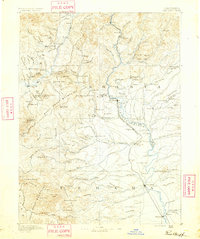
1890 · Red Bluff
USGS Topo · 1:250,000
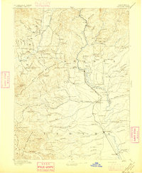
1894 · Red Bluff
USGS Topo · 1:250,000
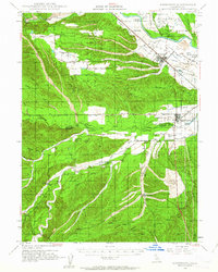
1947 · Anderson
USGS Topo · 1:62,500
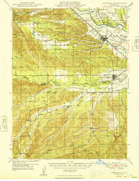
1948 · Anderson
USGS Topo · 1:62,500
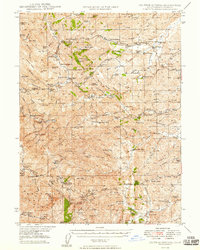
1949 · Colyear Springs
USGS Topo · 1:62,500
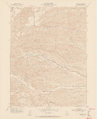
1952 · Blossom
USGS Topo · 1:24,000
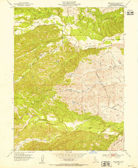
1952 · Red Bank
USGS Topo · 1:24,000
1952 · Ono
USGS Topo · 1:62,500
1952 · Red Bank
USGS Topo · 1:62,500
1957 · Colyear Springs
USGS Topo · 1:62,500