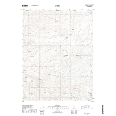
2018 Map of Oxbow Bridge
USGS Topo · Published 2018About this map
Oxbow Bridge serves as a focal point in this portion of Tehama County, where the high ridges of the interior drop toward the western reaches of the Sacramento Valley. The landscape is a complex network of drainages, including the S Fork Cottonwood Cr and N Fork Red Bank Cr, which have carved deep features such as Jackass Canyon and Sour Grass Gulch. Local geography is defined by numerous named flats and points of interest for historical research, such as Dipping Vat Flat, Scofield Flat, and the prominent Table Mtn. These labels reflect a history of land use and livestock movement through the rugged terrain. An intricate grid of local routes like Vestal Rd, Pettyjohn Rd, and Balis Bell Rd connects these remote locations, providing a clear picture of the modern rural infrastructure within the Central Valley region.
Find a feature on this map
64 named features on this map. Tap any name to fly to it.
Don’t see what you’re looking for? This feature index may not catch every label — zoom into the map to look around manually.
Map Details
Editions of this 2018 Oxbow Bridge Map
This is the sole edition of this map. No revisions or reprints were ever made.
Other maps of this area
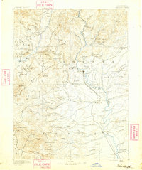
1890 · Red Bluff
USGS Topo · 1:250,000
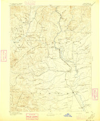
1894 · Red Bluff
USGS Topo · 1:250,000
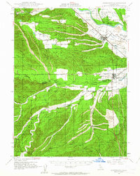
1947 · Anderson
USGS Topo · 1:62,500
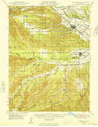
1948 · Anderson
USGS Topo · 1:62,500
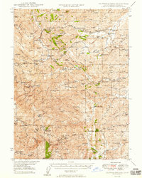
1949 · Colyear Springs
USGS Topo · 1:62,500
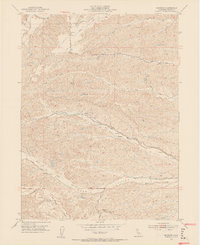
1952 · Blossom
USGS Topo · 1:24,000
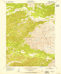
1952 · Red Bank
USGS Topo · 1:24,000
1952 · Ono
USGS Topo · 1:62,500
1952 · Red Bank
USGS Topo · 1:62,500
1957 · Colyear Springs
USGS Topo · 1:62,500