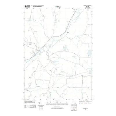
2010 Map of Oxford
USGS Topo · Published 2010About this map
The Chenango River valley serves as the primary corridor for settlement and transit through this central New York landscape, anchoring the village of Oxford. The river's winding course is shadowed by several small hamlets and historical corners, including South Oxford, Haynes, and Northrups Corners. This 2010 topographic record highlights the area's rich genealogical heritage, preserving the locations of numerous family and community burial grounds such as Van Wagenen Cemetery, Mason-Packer Cemetery, and Brooks Cemetery.
Find a feature on this map
83 named features on this map. Tap any name to fly to it.
Don’t see what you’re looking for? This feature index may not catch every label — zoom into the map to look around manually.
Map Details
Editions of this 2010 Oxford Map
This is the sole edition of this map. No revisions or reprints were ever made.
Other maps of this area

1902 · Coventry
USGS Topo · 1:62,500

1903 · Norwich
USGS Topo · 1:62,500

1904 · Oxford
USGS Topo · 1:62,500

1910 · New Berlin
USGS Topo · 1:62,500

1912 · New Berlin
USGS Topo · 1:62,500

1915 · Unadilla
USGS Topo · 1:62,500

1918 · Unadilla
USGS Topo · 1:62,500

1943 · Sidney
USGS Topo · 1:24,000

1943 · Holmesville
USGS Topo · 1:24,000

1943 · Norwich
USGS Topo · 1:24,000