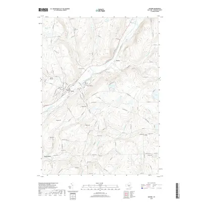
2019 Map of Oxford
USGS Topo · Published 2019About this map
The Chenango River valley anchors this modern landscape in Chenango County, where the historic village of Oxford serves as the primary hub of settlement. Numerous family and community burial grounds, including the Mason-Packer Cem and Rounds Cem, are found across the surrounding heights. The geography is defined by a series of prominent peaks such as Gamble Roof Hill and Gospel Hill, with local commerce historically linked to the river and road corridors like State Rte 220.
Find a feature on this map
117 named features on this map. Tap any name to fly to it.
Don’t see what you’re looking for? This feature index may not catch every label — zoom into the map to look around manually.
Map Details
Editions of this 2019 Oxford Map
This is the sole edition of this map. No revisions or reprints were ever made.
Other maps of this area
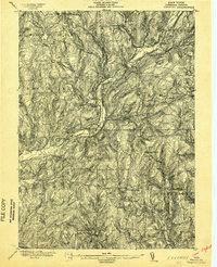
1902 · Coventry
USGS Topo · 1:62,500
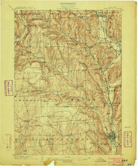
1903 · Norwich
USGS Topo · 1:62,500
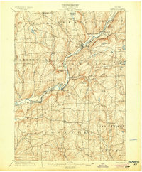
1904 · Oxford
USGS Topo · 1:62,500
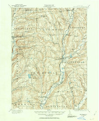
1910 · New Berlin
USGS Topo · 1:62,500
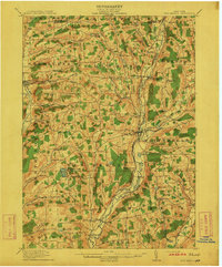
1912 · New Berlin
USGS Topo · 1:62,500
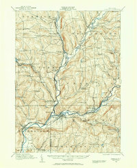
1915 · Unadilla
USGS Topo · 1:62,500
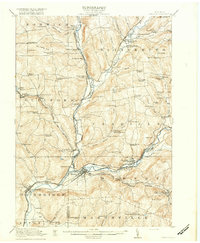
1918 · Unadilla
USGS Topo · 1:62,500
1943 · Sidney
USGS Topo · 1:24,000
1943 · Holmesville
USGS Topo · 1:24,000
1943 · Norwich
USGS Topo · 1:24,000