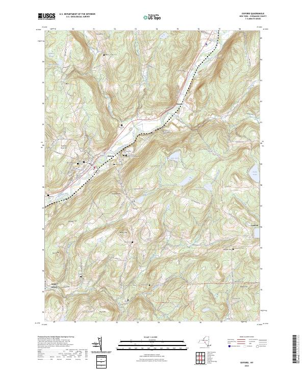
2023 Map of Oxford
USGS Topo · Published 2023About this map
The Chenango River valley anchors this study of the village of Oxford, where the local landscape is defined by its many hillside cemeteries and early family settlements. The community's history is preserved in the placement of the Saint Joseph Cem, Village Cem, and the New York State Veterans Home Cem. The terrain rises from the riverbanks toward several prominent heights, including Gamble Roof Hill and Gospel Hill, while water bodies like Lake Gerry and Trestle Lake dot the eastern uplands. This modern survey reflects the enduring geography of Chenango County, showing the network of rural roads that connect small settlements like Haynes and Guilford to the main valley corridor. Genealogists can trace family names through numerous remote burial grounds such as the Mason - Packer Cem and Blackman Cem, which remain as markers of the area's original agrarian footprint.
Find a feature on this map
122 named features on this map. Tap any name to fly to it.
Don’t see what you’re looking for? This feature index may not catch every label — zoom into the map to look around manually.
Map Details
Editions of this 2023 Oxford Map
This is the sole edition of this map. No revisions or reprints were ever made.
Other maps of this area

1902 · Coventry
USGS Topo · 1:62,500

1903 · Norwich
USGS Topo · 1:62,500

1904 · Oxford
USGS Topo · 1:62,500

1910 · New Berlin
USGS Topo · 1:62,500

1912 · New Berlin
USGS Topo · 1:62,500

1915 · Unadilla
USGS Topo · 1:62,500

1918 · Unadilla
USGS Topo · 1:62,500

1943 · Sidney
USGS Topo · 1:24,000

1943 · Holmesville
USGS Topo · 1:24,000

1943 · Norwich
USGS Topo · 1:24,000