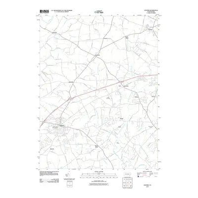
2010 Map of Oxford
USGS Topo · Published 2010About this map
The town of Oxford anchors the southwest corner of this landscape, characterized by the winding headwaters of the Big Elk Creek and the East Branch Octoraro Creek. This 2010 survey shows a region defined by its educational and rural institutions, most notably the campus of Lincoln University positioned centrally between the settlements of Hayesville and Elkdale. The terrain is a network of small crossroad communities and historic farmsteads, many connected by roads reflecting early landholder names like Faggs Manor Rd and Althouse Rd.
Find a feature on this map
101 named features on this map. Tap any name to fly to it.
Don’t see what you’re looking for? This feature index may not catch every label — zoom into the map to look around manually.
Map Details
Editions of this 2010 Oxford Map
This is the sole edition of this map. No revisions or reprints were ever made.
Other maps of this area

1898 · Elkton
USGS Topo · 1:62,500

1900 · Elkton
USGS Topo · 1:62,500

1900 · Havre De Grace
USGS Topo · 1:62,500

1904 · Coatesville
USGS Topo · 1:62,500

1906 · Coatesville
USGS Topo · 1:62,500

1912 · Quarryville
USGS Topo · 1:62,500

1917 · Elkton
USGS Topo · 1:62,500

1918 · Coatesville
USGS Topo · 1:62,500

1942 · Havre De Grace
USGS Topo · 1:62,500

1942 · Elkton
USGS Topo · 1:62,500
Featured Places
- New London Township, PA
- Londonderry Township, PA
- Upper Oxford Township, PA
- Elk Township, PA
- Sadsbury Township, PA