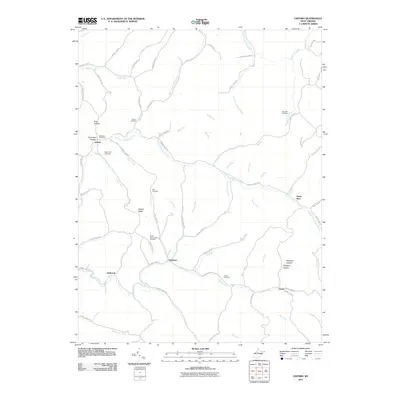
2011 Map of Oxford
USGS Topo · Published 2011About this map
The South Fork Hughes River and its complex network of tributaries like Sheep Run and Middle Fork dictate the settlement patterns of this West Virginia landscape. Small rural communities such as Oxford, Summers, and Holbrook are connected by a dense web of county highways that follow the narrow valley floors and ridgelines like Wilson Ridge. This early 21st-century survey reveals a topography heavily marked by family and community history, evidenced by the numerous burial grounds scattered across the terrain.
Find a feature on this map
86 named features on this map. Tap any name to fly to it.
Don’t see what you’re looking for? This feature index may not catch every label — zoom into the map to look around manually.
Map Details
Editions of this 2011 Oxford Map
This is the sole edition of this map. No revisions or reprints were ever made.
Other maps of this area

1904 · Vadis
USGS Topo · 1:62,500

1905 · Centerpoint
USGS Topo · 1:62,500

1905 · West Union
USGS Topo · 1:62,500

1906 · Holbrook
USGS Topo · 1:62,500

1924 · Centerpoint
USGS Topo · 1:62,500

1924 · West Union
USGS Topo · 1:62,500

1924 · Holbrook
USGS Topo · 1:62,500

1925 · Centerpoint
USGS Topo · 1:62,500

1925 · Vadis
USGS Topo · 1:62,500

1926 · Holbrook
USGS Topo · 1:62,500