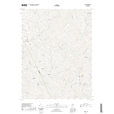
2019 Map of Oxford
USGS Topo · Published 2019About this map
Oxford and Holbrook sit within a landscape of deeply carved hollows and winding ridges along the Doddridge and Ritchie county line. The drainage pattern is dominated by the S Fork Hughes River, where numerous small runs such as Cabin Run, Sheep Run, and Middle Fork have shaped the local topography into distinctive landforms like Maxwell Ridge and Wilson Ridge. These names reflect the ancestral footprints of families who settled the area's narrow valleys and high ground.
Find a feature on this map
90 named features on this map. Tap any name to fly to it.
Don’t see what you’re looking for? This feature index may not catch every label — zoom into the map to look around manually.
Map Details
Editions of this 2019 Oxford Map
This is the sole edition of this map. No revisions or reprints were ever made.
Other maps of this area

1904 · Vadis
USGS Topo · 1:62,500

1905 · Centerpoint
USGS Topo · 1:62,500

1905 · West Union
USGS Topo · 1:62,500

1906 · Holbrook
USGS Topo · 1:62,500

1924 · Centerpoint
USGS Topo · 1:62,500

1924 · West Union
USGS Topo · 1:62,500

1924 · Holbrook
USGS Topo · 1:62,500

1925 · Centerpoint
USGS Topo · 1:62,500

1925 · Vadis
USGS Topo · 1:62,500

1926 · Holbrook
USGS Topo · 1:62,500