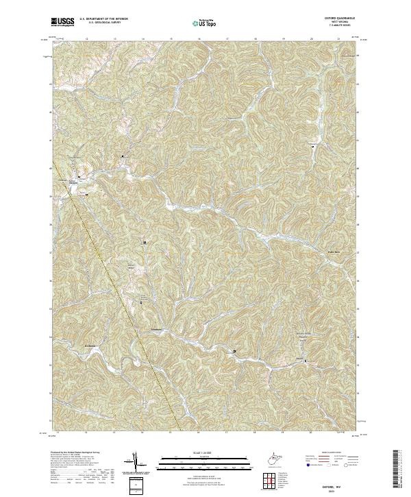
2023 Map of Oxford
USGS Topo · Published 2023About this map
The South Fork Hughes River meanders through the heart of this terrain, anchoring a landscape defined by sharp ridges and deep hollows like Gray Hollow and Clevenger Hollow. Small, established communities such as Oxford and Summers serve as focal points along the rural road network, which includes Oxford Rd and several county routes. The area’s history is preserved in its many family and community burial grounds, from Nutter Cem in the north to Grove Cem in the southeast near the settlement of Grove. The boundary between Ritchie Co and Doddridge Co bisects the western portion of the map, cutting across Wilson Ridge. This modern survey illustrates how traditional West Virginia mountain settlements like Porto Rico and Holbrook maintain their spatial identity amidst a complex drainage system that includes Middle Fork and Straight Fork.
Find a feature on this map
88 named features on this map. Tap any name to fly to it.
Don’t see what you’re looking for? This feature index may not catch every label — zoom into the map to look around manually.
Map Details
Editions of this 2023 Oxford Map
This is the sole edition of this map. No revisions or reprints were ever made.
Other maps of this area

1904 · Vadis
USGS Topo · 1:62,500

1905 · Centerpoint
USGS Topo · 1:62,500

1905 · West Union
USGS Topo · 1:62,500

1906 · Holbrook
USGS Topo · 1:62,500

1924 · Centerpoint
USGS Topo · 1:62,500

1924 · West Union
USGS Topo · 1:62,500

1924 · Holbrook
USGS Topo · 1:62,500

1925 · Centerpoint
USGS Topo · 1:62,500

1925 · Vadis
USGS Topo · 1:62,500

1926 · Holbrook
USGS Topo · 1:62,500