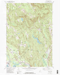
1980 Map of Oxford
USGS Topo · Published 1981About this map
Hebron Public Lands and the historic campus of Hebron Academy anchor the high ground in this 1970s-era topographic study of Oxford County. The landscape is defined by its numerous family-named peaks and cemeteries, such as Singepole Mtn and Shepardsfield Cem, reflecting a long history of upland farming and settlement. Along the southern edge, the Androscoggin River and Thompson Lake provided the water power and transport that supported industrial hamlets like Welchville and the town of Oxford. The presence of the Canadian National rail line and Oxford Station highlights the corridor's role as a vital transportation artery. Further north, the shift from agricultural activity to recreational and modern infrastructure is visible at the Oxford Plains Speedway, the Drag Strip, and the Oxford County Regional Airport. Small crossroads like Brimstone Corner and Paine Corner remain as evidence of the area's rural settlement pattern before the intensification of regional transit.
Find a feature on this map
82 named features on this map. Tap any name to fly to it.
Don’t see what you’re looking for? This feature index may not catch every label — zoom into the map to look around manually.
Map Details
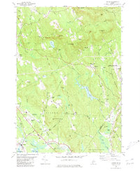
Editions of this 1980 Oxford Map
2 editions found
Other maps of this area

1896 · Norway
USGS Topo · 1:62,500

1908 · Poland
USGS Topo · 1:62,500

1911 · Bryant Pond
USGS Topo · 1:62,500

1911 · Buckfield
USGS Topo · 1:62,500

1913 · Buckfield
USGS Topo · 1:62,500

1914 · Bryant Pond
USGS Topo · 1:62,500

1940 · Poland
USGS Topo · 1:62,500

1942 · Buckfield
USGS Topo · 1:62,500

1942 · Bryant Pond
USGS Topo · 1:62,500

1942 · Poland
USGS Topo · 1:62,500