
1942 Map of Oxford
USGS Topo · Published 1942About this map
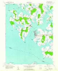
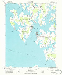
The Tred Avon River and the Choptank River define this coastal Maryland landscape, where early 1940s water-based life and land-based agriculture intersect. The town of Oxford serves as a primary hub, complete with its Oxford Cemetery and a Weather Bureau Staff station reflecting the importance of maritime climate. Across the water, the settlement of Bellevue is linked to Ferry Neck by the prominent Ferry Neck Road, while small rural communities like Royal Oak supported local families through institutions such as the Royal Oak School and St Paul Church. The map details a complex network of coves and points, including Deep Neck Pt and Bachelor Pt, which suggest a long history of fishing and boat access. Inland, church congregations like John Wesley Church and Ferry Neck Church provide vital genealogical anchor points for researchers tracing the families of Talbot and Dorchester counties during this era.
Find a feature on this map
63 named features on this map. Tap any name to fly to it.
Don’t see what you’re looking for? This feature index may not catch every label — zoom into the map to look around manually.
Map Details
Editions of this 1942 Oxford Map
3 editions found
Other maps of this area

1892 · Annapolis
USGS Topo · 1:62,500

1893 · Sharps Island
USGS Topo · 1:62,500

1898 · Choptank
USGS Topo · 1:125,000

1904 · St. Michaels
USGS Topo · 1:62,500

1904 · Annapolis
USGS Topo · 1:62,500

1904 · Sharps Island
USGS Topo · 1:62,500

1904 · Oxford
USGS Topo · 1:62,500

1908 · Choptank
USGS Topo · 1:125,000

1942 · Tilghman
USGS Topo · 1:31,680

1942 · Church Creek
USGS Topo · 1:24,000