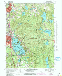
1969 Map of Oxford
USGS Topo · Published 1988About this map
Chaubunagungamaug Lake dominates the center of this landscape, its intricate shoreline featuring many distinct coves and islands such as Reid Smith Cove, Winter Cove, and Second Island. The 1969 field-checked data shows the dense residential and industrial layout of Webster and Oxford, including important community landmarks like Hubbard Hospital and the Armory. Extensive wooded tracts cover the eastern portion of the sheet, where the Douglas State Forest surrounds the Whitin Reservoir and Crystal Lake. Transport infrastructure is well-defined by the Conrail line running through the valley and historic thoroughfares like Huguenot Road and Gore Road. Small settlements and summer colonies like Wawela Park and Manchaug illustrate the regional mix of manufacturing legacy and recreational waterfront development. The map also records several local burial grounds, including St Josephs Cemetery and the family-named Bates Cem, providing essential points of reference for genealogical research.
Find a feature on this map
87 named features on this map. Tap any name to fly to it.
Don’t see what you’re looking for? This feature index may not catch every label — zoom into the map to look around manually.
Map Details
Editions of this 1969 Oxford Map
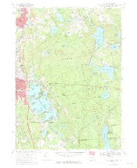
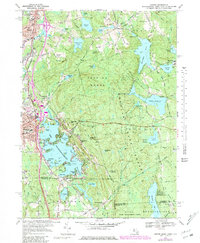
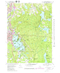
4 editions found
Other maps of this area

1886 · Blackstone
USGS Topo · 1:62,500

1889 · Blackstone
USGS Topo · 1:62,500

1889 · Webster
USGS Topo · 1:62,500

1889 · Putnam
USGS Topo · 1:62,500

1889 · Burrillville
USGS Topo · 1:62,500

1892 · Webster
USGS Topo · 1:62,500

1893 · Putnam
USGS Topo · 1:62,500

1893 · Blackstone
USGS Topo · 1:62,500

1894 · Burrillville
USGS Topo · 1:62,500

1900 · Blackstone
USGS Topo · 1:62,500