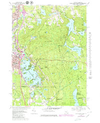
1969 Map of Oxford
USGS Topo · Published 1979About this map
Lake Chaubunagungamaug dominates the landscape of this Massachusetts and Rhode Island border region, its intricate shoreline dotted with vacation spots like Wawela Park and Colonial Park. In the late 1960s, this area reflects a mix of growing industrial centers and dense woodland, with the massive Douglas State Forest and Douglas Woods covering much of the central terrain. Transportation networks are well-developed, including the Mass Turnpike cutting through the northern section and the Providence and Worcester railroad corridor.
Find a feature on this map
88 named features on this map. Tap any name to fly to it.
Don’t see what you’re looking for? This feature index may not catch every label — zoom into the map to look around manually.
Map Details
Editions of this 1969 Oxford Map
4 editions found
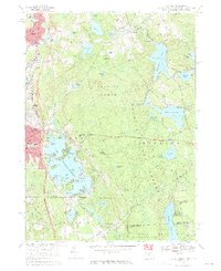
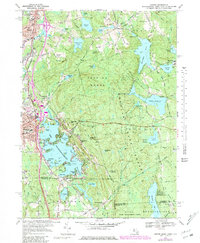
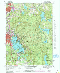
Other maps of this area

1886 · Blackstone
USGS Topo · 1:62,500

1889 · Blackstone
USGS Topo · 1:62,500

1889 · Webster
USGS Topo · 1:62,500

1889 · Putnam
USGS Topo · 1:62,500

1889 · Burrillville
USGS Topo · 1:62,500

1892 · Webster
USGS Topo · 1:62,500

1893 · Putnam
USGS Topo · 1:62,500

1893 · Blackstone
USGS Topo · 1:62,500

1894 · Burrillville
USGS Topo · 1:62,500

1900 · Blackstone
USGS Topo · 1:62,500