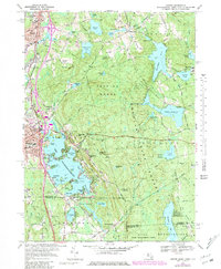
1969 Map of Oxford
USGS Topo · Published 1979About this map
Lake Chaubunagungamaug dominates the southwestern landscape of this tri-state border region, its intricate shoreline featuring Wawela Park and Colonial Park. The water's complex geography includes Birch Island, Second Island, and Reid Smith Cove, reflecting the area's history as a prominent recreational and residential destination. To the east, the vast canopy of the Douglas State Forest covers Douglas Woods, a terrain marked by glacial features like Bugs Swamp and Cedar Swamp.
Find a feature on this map
94 named features on this map. Tap any name to fly to it.
Don’t see what you’re looking for? This feature index may not catch every label — zoom into the map to look around manually.
Map Details
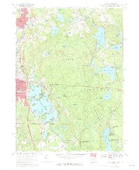
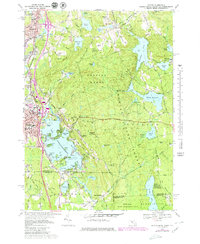
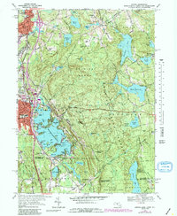
Editions of this 1969 Oxford Map
4 editions found
Other maps of this area

1886 · Blackstone
USGS Topo · 1:62,500

1889 · Blackstone
USGS Topo · 1:62,500

1889 · Webster
USGS Topo · 1:62,500

1889 · Putnam
USGS Topo · 1:62,500

1889 · Burrillville
USGS Topo · 1:62,500

1892 · Webster
USGS Topo · 1:62,500

1893 · Putnam
USGS Topo · 1:62,500

1893 · Blackstone
USGS Topo · 1:62,500

1894 · Burrillville
USGS Topo · 1:62,500

1900 · Blackstone
USGS Topo · 1:62,500