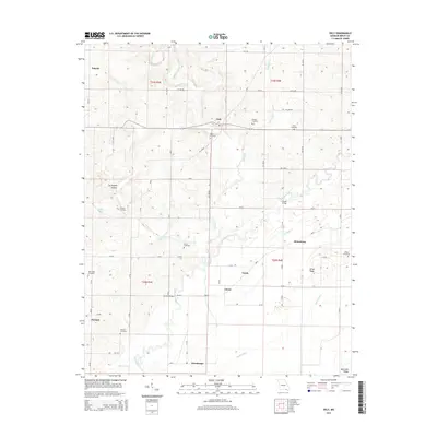
2015 Map of Oxly
USGS Topo · Published 2015About this map
The Little Black River meanders through the heart of this Missouri-Arkansas borderland, defining a landscape of low ridges and agricultural bottoms. Numerous family and community burial grounds, including Antioch Cemetery, Union Cemetery, and Stillwell Cemetery, are scattered across the terrain, reflecting the deep-rooted settlement patterns of Ripley County. The small community of Oxly sits at a central crossroads, while other named hamlets like Purman, Torch, and Glenn mark the rural sections.
Find a feature on this map
108 named features on this map. Tap any name to fly to it.
Don’t see what you’re looking for? This feature index may not catch every label — zoom into the map to look around manually.
Map Details
Editions of this 2015 Oxly Map
This is the sole edition of this map. No revisions or reprints were ever made.
Other maps of this area

1935 · Acorn
USGS Topo · 1:62,500

1935 · Knobel
USGS Topo · 1:62,500

1935 · Reyno
USGS Topo · 1:62,500

1939 · Doniphan
USGS Topo · 1:62,500

1940 · Naylor
USGS Topo · 1:62,500

1941 · Knobel
USGS Topo · 1:62,500

1944 · Naylor
USGS Topo · 1:62,500

1945 · Doniphan
USGS Topo · 1:62,500

1957 · Poplar Bluff
USGS Topo · 1:250,000

1959 · Poplar Bluff
USGS Topo · 1:250,000