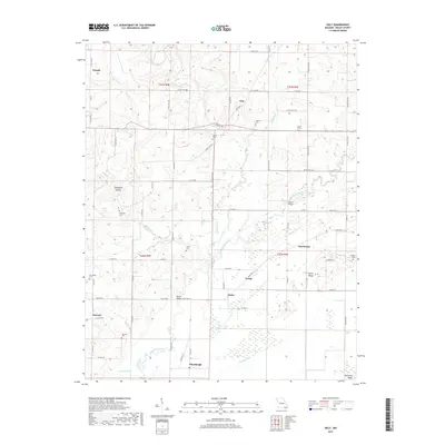
2017 Map of Oxly
USGS Topo · Published 2017About this map
Little Black River meanders through the heart of this Ripley County landscape, defining the character of the southeastern Missouri lowlands. The settlement of Oxly serves as a central hub, while smaller communities like Torch, Glenn, and Hemenway are connected by a network of county roads and state highways. The drainage patterns of Cypress Ditch and Ditch Number 24 reveal the agricultural engineering used to manage the wet terrain along the river bottomlands.
Find a feature on this map
77 named features on this map. Tap any name to fly to it.
Don’t see what you’re looking for? This feature index may not catch every label — zoom into the map to look around manually.
Map Details
Editions of this 2017 Oxly Map
This is the sole edition of this map. No revisions or reprints were ever made.
Other maps of this area

1935 · Acorn
USGS Topo · 1:62,500

1935 · Knobel
USGS Topo · 1:62,500

1935 · Reyno
USGS Topo · 1:62,500

1939 · Doniphan
USGS Topo · 1:62,500

1940 · Naylor
USGS Topo · 1:62,500

1941 · Knobel
USGS Topo · 1:62,500

1944 · Naylor
USGS Topo · 1:62,500

1945 · Doniphan
USGS Topo · 1:62,500

1957 · Poplar Bluff
USGS Topo · 1:250,000

1959 · Poplar Bluff
USGS Topo · 1:250,000