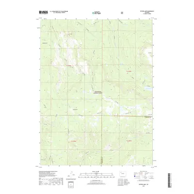
2019 Map of Oyster Lake
USGS Topo · Published 2019About this map
The White River National Forest defines this high-altitude landscape along the border of Rio Blanco and Garfield counties. Centered on the Flat Tops region, the map reveals a complex network of alpine water systems and named topographical landmarks. Significant water bodies like Oyster Lake, Papoose Lake, and the clusters of Marvine Lakes serve as the headwaters for numerous drainage systems, including Ute Creek and Fowler Creek. The terrain is marked by distinct high-elevation basins and peaks, such as Papoose Basin, Johnson Park, and Camel Peak. The distribution of these features reflects the area's geography before significant human development, showing a wilderness preserved for its natural resources and watershed value. Notable landmarks like Rat Mtn and Lost Solar provide reference points in a region dominated by glacial lakes and stream-cut valleys.
Find a feature on this map
37 named features on this map. Tap any name to fly to it.
Don’t see what you’re looking for? This feature index may not catch every label — zoom into the map to look around manually.
Map Details
Editions of this 2019 Oyster Lake Map
This is the sole edition of this map. No revisions or reprints were ever made.
Other maps of this area
1906 · Grand Hogback
USGS Topo · 1:125,000
1910 · Danforth Hills
USGS Topo · 1:125,000
1910 · Grand Hogback
USGS Topo · 1:125,000
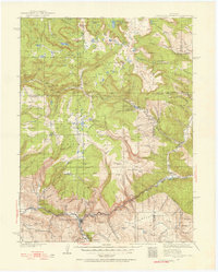
1927 · Glenwood Springs
USGS Topo · 1:125,000
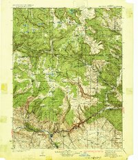
1930 · Glenwood Springs
USGS Topo · 1:125,000

1954 · Craig
USGS Topo · 1:250,000
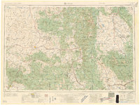
1957 · Craig
USGS Topo · 1:250,000

1957 · Leadville
USGS Topo · 1:250,000
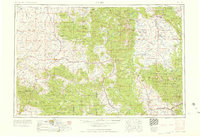
1958 · Craig
USGS Topo · 1:250,000

1959 · Leadville
USGS Topo · 1:250,000