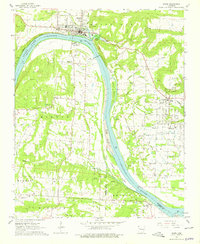
1966 Map of Ozark
USGS Topo · Published 1979About this map
Arkansas River navigation and the mid-century development of Ozark Lake dominate this mid-1960s survey of Franklin County. The town of Ozark sits at a major bend in the river, where the Missouri Pacific railroad parallels the northern bank. A significant detail of this era is the inclusion of blue hatching, which indicates land soon to be submerged by the creation of the reservoir.
Find a feature on this map
62 named features on this map. Tap any name to fly to it.
Don’t see what you’re looking for? This feature index may not catch every label — zoom into the map to look around manually.
Map Details
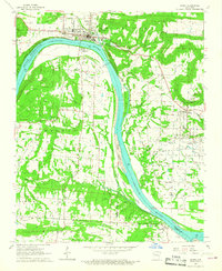
Editions of this 1966 Ozark Map
2 editions found
Other maps of this area

1879 · Cravens
USGS Topo · 1:62,500

1887 · Magazine Mountain #1
USGS Topo · 1:62,500

1887 · Magazine Mountain #2
USGS Topo · 1:62,500

1887 · Watalula
USGS Topo · 1:62,500

1887 · Magazine Mountain
USGS Topo · 1:62,500

1890 · Magazine Mountain
USGS Topo · 1:125,000

1906 · Batson
USGS Topo · 1:62,500

1939 · Watalula
USGS Topo · 1:62,500

1956 · Russellville
USGS Topo · 1:250,000

1961 · Coal Hill
USGS Topo · 1:24,000