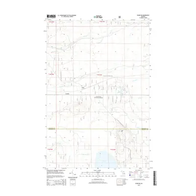
2014 Map of Ozark NE
USGS Topo · Published 2014About this map
Hiawatha National Forest dominates this landscape in the eastern Upper Peninsula, where the boundary between Chippewa and Mackinac Counties defines the local geography. The map traces a network of watercourses that drain the timbered terrain, including the Pine River, Biscuit Creek, and Bear Creek. Localized water features like The Big Spring and Trout Brook Pond suggest the high water table and spring-fed nature of the region.
Find a feature on this map
26 named features on this map. Tap any name to fly to it.
Don’t see what you’re looking for? This feature index may not catch every label — zoom into the map to look around manually.
Map Details
Editions of this 2014 Ozark NE Map
This is the sole edition of this map. No revisions or reprints were ever made.
Other maps of this area
1931 · Ozark SE
USGS Topo · 1:31,680
1941 · Strongs
USGS Topo · 1:63,360
1941 · Brimley
USGS Topo · 1:63,360
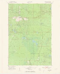
1951 · Strongs
USGS Topo · 1:24,000
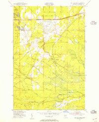
1951 · Sullivan Creek
USGS Topo · 1:24,000
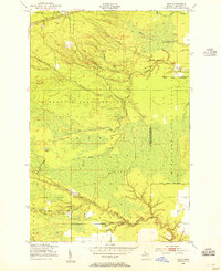
1951 · Raco
USGS Topo · 1:24,000
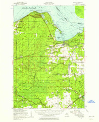
1951 · Brimley
USGS Topo · 1:62,500
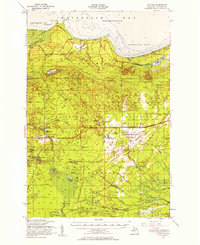
1951 · Strongs
USGS Topo · 1:62,500
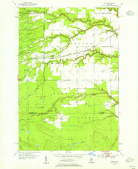
1953 · Fibre
USGS Topo · 1:24,000
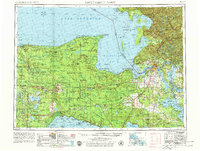
1954 · Sault Sainte Marie
USGS Topo · 1:250,000