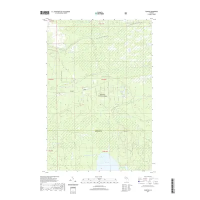
2019 Map of Ozark NE
USGS Topo · Published 2019About this map
Hiawatha National Forest blankets this Upper Peninsula landscape, where the headwaters of several river systems emerge from the wetlands of Mackinac and Chippewa counties. The 2019 survey documents a terrain defined by glacial hydrology, where the Pine River and N Br Carp River begin their descent toward the Great Lakes. Small settlements like Cordell and Dick are situated along these watercourses, representing the sparse development in an area otherwise dedicated to timber and recreation.
Find a feature on this map
27 named features on this map. Tap any name to fly to it.
Don’t see what you’re looking for? This feature index may not catch every label — zoom into the map to look around manually.
Map Details
Editions of this 2019 Ozark NE Map
This is the sole edition of this map. No revisions or reprints were ever made.
Other maps of this area

1931 · Ozark SE
USGS Topo · 1:31,680

1941 · Strongs
USGS Topo · 1:63,360

1941 · Brimley
USGS Topo · 1:63,360

1951 · Strongs
USGS Topo · 1:24,000

1951 · Sullivan Creek
USGS Topo · 1:24,000

1951 · Raco
USGS Topo · 1:24,000

1951 · Brimley
USGS Topo · 1:62,500

1951 · Strongs
USGS Topo · 1:62,500

1953 · Fibre
USGS Topo · 1:24,000

1954 · Sault Sainte Marie
USGS Topo · 1:250,000