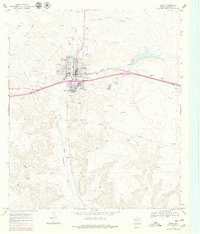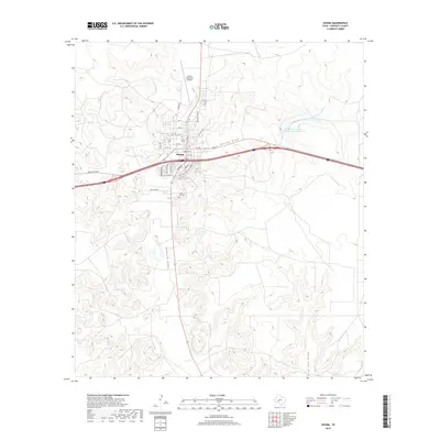
1985 Map of Ozona
USGS Topo · Published 1985About this map
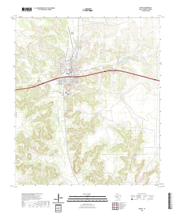
Fort Lancaster (Ruins) serves as a silent sentinel over the landscape of West Texas, marking a nineteenth-century military outpost on the government road to El Paso. By the mid-1980s, this area reflects a complex layering of natural drainage and modern industry. The Pecos River carves a deep boundary between Crockett and Pecos counties, fed by intricate drainage systems like Twelvemile Creek and Live Oak Creek. The cattle-ranching legacy is evident in remote locations like Double Mill, while the regional economy is anchored by the extensive oil fields and gas and oil fields that pepper the northern and central plateaus. Small settlements like Iraan and the county seat of Ozona provide concentrated pockets of development, connected by a network of ranch-to-market roads and interstate infrastructure. High points such as Bachelor Hill and Pikes Peak overlook the rugged canyon country of Mitchell Canyon and Reagan Canyon.
Find a feature on this map
77 named features on this map. Tap any name to fly to it.
Don’t see what you’re looking for? This feature index may not catch every label — zoom into the map to look around manually.
Map Details
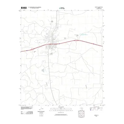
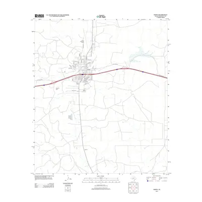
Editions of this 1985 Ozona Map
2 editions found
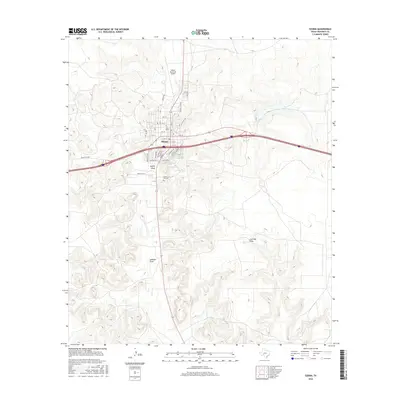
Historical Maps of Ozona Through Time
7 maps found