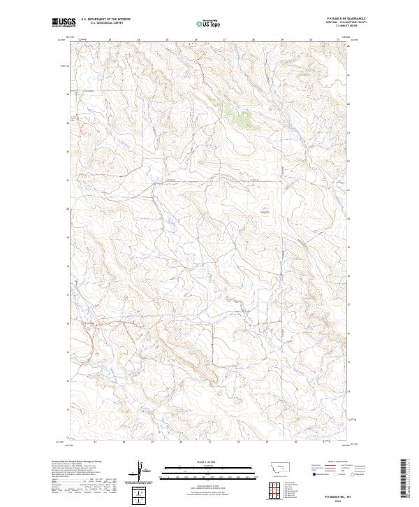
2024 Map of P K Ranch NE
USGS Topo · Published 2024About this map
Hibbard Creek and Cow Gulch carve a network of drainage patterns across this Yellowstone County landscape, where the high-plains terrain rises toward Lookout Point. The map reflects a rural environment defined by expansive sections and township boundaries, including t6n r29e and t5n r30e. Infrastructure is sparse and utilitarian, centered on a handful of throughways such as Huffine Rd, Bundy Rd, and Hibbard Creek Rd. To the south, Railroad Creek further defines the watershed, illustrating the essential relationship between the local topography and the watercourses that dictate the placement of ranch roads and boundaries in this part of Montana.
Find a feature on this map
14 named features on this map. Tap any name to fly to it.
Don’t see what you’re looking for? This feature index may not catch every label — zoom into the map to look around manually.
Map Details
Editions of this 2024 P K Ranch NE Map
This is the sole edition of this map. No revisions or reprints were ever made.
Other maps of this area

1954 · Forsyth
USGS Topo · 1:250,000

1954 · Roundup
USGS Topo · 1:250,000

1957 · Forsyth
USGS Topo · 1:250,000

1958 · Roundup
USGS Topo · 1:250,000

1958 · Forsyth
USGS Topo · 1:250,000
1967 · Big Marys Island
USGS Topo · 1:24,000

1979 · Roundup
USGS Topo · 1:100,000

1979 · Hysham
USGS Topo · 1:100,000
1980 · P K Ranch NE
USGS Topo · 1:24,000
1980 · Bull Mountain NW
USGS Topo · 1:24,000