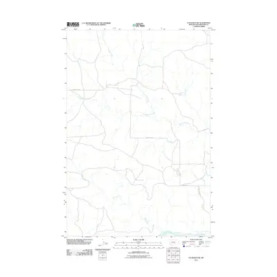
2011 Map of P K Ranch SW
USGS Topo · Published 2011About this map
Yellowstone River frontage along the southern boundary of this quadrangle defines a landscape dominated by its drainage network and remote ranch roads. The terrain is characterized by the winding paths of several watercourses, most notably Rock Creek, which meanders through the central and southern portions of the map. Further north, the hydrologic pattern is shaped by Pompeys Pillar Creek and Churn Dash Creek. This 2011 survey captures the area's pastoral and unpopulated character, where transportation is limited to a handful of thoroughfares such as Lambert Trail Rd and its segments labeled Lambert Trl. The inclusion of the Yellowstone River Access Rd suggests the continued importance of the river for both transport and local utility in this section of Yellowstone County.
Find a feature on this map
7 named features on this map. Tap any name to fly to it.
Don’t see what you’re looking for? This feature index may not catch every label — zoom into the map to look around manually.
Map Details
Editions of this 2011 P K Ranch SW Map
This is the sole edition of this map. No revisions or reprints were ever made.
Other maps of this area

1893 · Huntley
USGS Topo · 1:125,000

1954 · Billings
USGS Topo · 1:250,000

1954 · Roundup
USGS Topo · 1:250,000

1956 · Huntley
USGS Topo · 1:24,000

1957 · Billings
USGS Topo · 1:250,000

1958 · Billings
USGS Topo · 1:250,000

1958 · Roundup
USGS Topo · 1:250,000

1967 · Nibbe
USGS Topo · 1:24,000

1967 · Worden
USGS Topo · 1:24,000

1979 · Roundup
USGS Topo · 1:100,000