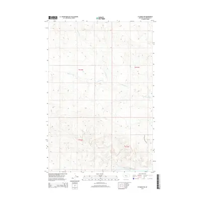
2014 Map of P K Ranch SW
USGS Topo · Published 2014About this map
Yellowstone River waters define the southeastern corner of this landscape, where the Yellowstone River Access Rd provides a point of entry to the waterway. The surrounding terrain is characterized by a network of drainage systems, including the winding course of Pompeys Pillar Cr and Churn Dash Cr. This 2014 survey by the U.S. Geological Survey documents the rural expanse within Yellowstone County, Montana, where land is partitioned by the Public Land Survey System into townships like t4n r28e and t3n r29e. The map captures a transition from high ridge lines down to the Rock Cr basin, illustrating the geographical features that influence land use and access in this part of the Montana plains.
Find a feature on this map
9 named features on this map. Tap any name to fly to it.
Don’t see what you’re looking for? This feature index may not catch every label — zoom into the map to look around manually.
Map Details
Editions of this 2014 P K Ranch SW Map
This is the sole edition of this map. No revisions or reprints were ever made.
Other maps of this area

1893 · Huntley
USGS Topo · 1:125,000

1954 · Billings
USGS Topo · 1:250,000

1954 · Roundup
USGS Topo · 1:250,000

1956 · Huntley
USGS Topo · 1:24,000

1957 · Billings
USGS Topo · 1:250,000

1958 · Billings
USGS Topo · 1:250,000

1958 · Roundup
USGS Topo · 1:250,000

1967 · Nibbe
USGS Topo · 1:24,000

1967 · Worden
USGS Topo · 1:24,000

1979 · Roundup
USGS Topo · 1:100,000