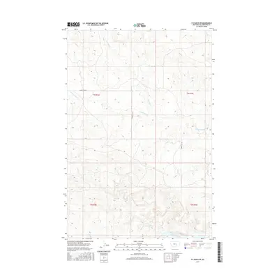
2017 Map of P K Ranch SW
USGS Topo · Published 2017About this map
The Yellowstone River anchors the southern boundary of this high-plains landscape, where the land transitions from river bottom to the drainages of several significant creeks. The survey details a network of watercourses including Pompeys Pillar Cr, Churn Dash Cr, and Rock Cr, which carve through the terrain of Yellowstone County. This area is defined by the Public Land Survey System, showing the junction of Townships 3 and 4 North across Ranges 28 and 29 East. Human infrastructure is concentrated along Lambert Trail Rd, which provides passage through the northern sections. The map serves as a contemporary record of how drainage patterns and primitive road networks continue to shape the rural geography north of the river corridor.
Find a feature on this map
9 named features on this map. Tap any name to fly to it.
Don’t see what you’re looking for? This feature index may not catch every label — zoom into the map to look around manually.
Map Details
Editions of this 2017 P K Ranch SW Map
This is the sole edition of this map. No revisions or reprints were ever made.
Other maps of this area

1893 · Huntley
USGS Topo · 1:125,000

1954 · Billings
USGS Topo · 1:250,000

1954 · Roundup
USGS Topo · 1:250,000

1956 · Huntley
USGS Topo · 1:24,000

1957 · Billings
USGS Topo · 1:250,000

1958 · Billings
USGS Topo · 1:250,000

1958 · Roundup
USGS Topo · 1:250,000

1967 · Nibbe
USGS Topo · 1:24,000

1967 · Worden
USGS Topo · 1:24,000

1979 · Roundup
USGS Topo · 1:100,000