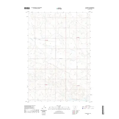
2020 Map of P K Ranch SW
USGS Topo · Published 2020About this map
The Yellowstone River flows across the southern margin of this Yellowstone County landscape, anchoring a network of intermittent drainages that define the local topography. This modern survey illustrates the persistent importance of natural watercourses like Rock Cr and Pompeys Pillar Cr in shaping the land use and accessibility of the region. The map highlights a rural infrastructure centered on the Lambert Trail Rd and Lambert Trl, which navigate the elevation changes between the river valley and the northern uplands. Detailed contour work by the U.S. Geological Survey reveals the complex system of coulees and ridges carved by Churn Dash Cr and its tributaries, providing a clear picture of the Montana terrain as it exists in the early twenty-first century.
Find a feature on this map
10 named features on this map. Tap any name to fly to it.
Don’t see what you’re looking for? This feature index may not catch every label — zoom into the map to look around manually.
Map Details
Editions of this 2020 P K Ranch SW Map
This is the sole edition of this map. No revisions or reprints were ever made.
Other maps of this area

1893 · Huntley
USGS Topo · 1:125,000

1954 · Billings
USGS Topo · 1:250,000

1954 · Roundup
USGS Topo · 1:250,000

1956 · Huntley
USGS Topo · 1:24,000

1957 · Billings
USGS Topo · 1:250,000

1958 · Billings
USGS Topo · 1:250,000

1958 · Roundup
USGS Topo · 1:250,000

1967 · Nibbe
USGS Topo · 1:24,000

1967 · Worden
USGS Topo · 1:24,000

1979 · Roundup
USGS Topo · 1:100,000