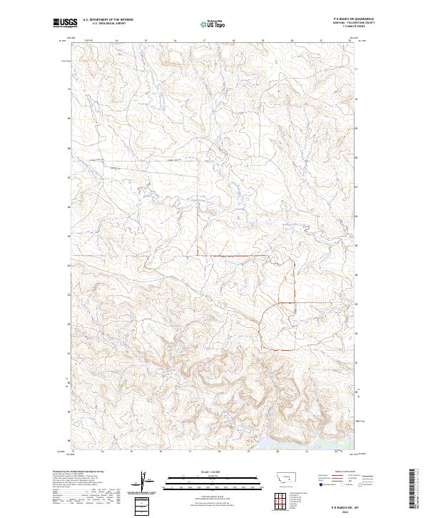
2024 Map of P K Ranch SW
USGS Topo · Published 2024About this map
Pompeys Pillar Creek meanders through this portion of Yellowstone County, defining a landscape shaped by intermittent watercourses and traditional travel routes. The topographic character of the area is underscored by the presence of Churn Dash Creek and Rock Creek, which provide drainage across the township boundaries of t4n r28e and t4n r29e. This 2024 survey captures the persistence of historical corridors such as Lambert Trail Rd and Lambert Trl, which follow the natural contours of the terrain. The map's layout highlights the section lines and township markers that have organized this ranching country for over a century, offering a clear view of how rural infrastructure aligns with the drainage patterns of the high plains.
Find a feature on this map
9 named features on this map. Tap any name to fly to it.
Don’t see what you’re looking for? This feature index may not catch every label — zoom into the map to look around manually.
Map Details
Editions of this 2024 P K Ranch SW Map
This is the sole edition of this map. No revisions or reprints were ever made.
Other maps of this area

1893 · Huntley
USGS Topo · 1:125,000

1954 · Billings
USGS Topo · 1:250,000

1954 · Roundup
USGS Topo · 1:250,000

1956 · Huntley
USGS Topo · 1:24,000

1957 · Billings
USGS Topo · 1:250,000

1958 · Billings
USGS Topo · 1:250,000

1958 · Roundup
USGS Topo · 1:250,000

1967 · Nibbe
USGS Topo · 1:24,000

1967 · Worden
USGS Topo · 1:24,000

1979 · Roundup
USGS Topo · 1:100,000