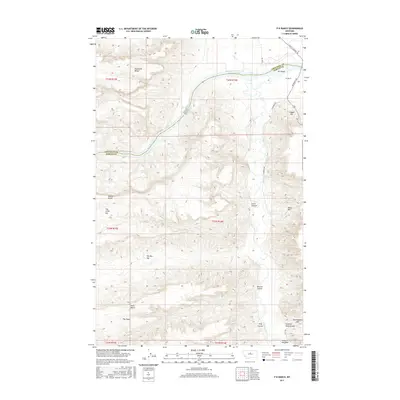
2017 Map of P N Ranch
USGS Topo · Published 2017About this map
The confluence of the Missouri River and the Judith River anchors this central Montana landscape, where the historic P N Ranch sits near the border of Chouteau and Fergus counties. The terrain is defined by dramatic breaks and high plateaus, including Eightmile Bench and Missouri Bench, which look down upon the winding river corridor. Landforms with evocative local names such as The Big Sag, The Little Sag, and Hole-in-the-Wall illustrate the complex geography of the Missouri River Breaks. Movement through this area is traced by early routes like Judith Landing Rd and PN Bridge Rd, which provide access to the river valley and points like Clagget Hill. This survey records a remote ranching and river environment characterized by seasonal water sources like Nelson Springs and steep drainage systems such as Evers Coulee and Mutton Coulee.
Find a feature on this map
30 named features on this map. Tap any name to fly to it.
Don’t see what you’re looking for? This feature index may not catch every label — zoom into the map to look around manually.
Map Details
Editions of this 2017 P N Ranch Map
This is the sole edition of this map. No revisions or reprints were ever made.
Other maps of this area

1953 · Starve Out Flat
USGS Topo · 1:24,000

1954 · P N Ranch
USGS Topo · 1:24,000

1954 · Iliad
USGS Topo · 1:24,000

1954 · Council Island
USGS Topo · 1:24,000

1954 · Lewistown
USGS Topo · 1:250,000

1959 · Lewistown
USGS Topo · 1:250,000

1964 · Wolf Creek Falls
USGS Topo · 1:24,000

1964 · Pigtail Coulee
USGS Topo · 1:24,000

1964 · Anderson Bridge
USGS Topo · 1:24,000

1964 · Spring Coulee
USGS Topo · 1:24,000