
1964 Map of Spring Coulee
USGS Topo · Published 1966About this map
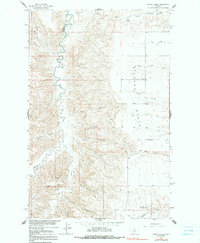
Arrow Creek winds through a deeply incised canyon system along the border of Chouteau Co and Fergus Co during the mid-1960s. The landscape is defined by the high, flat expanses of the Everson Bench and Arrow Creek Bench, where dryland farming and ranching are established. The small community of Everson serves as a local hub, anchored by the Everson Community Hall and the nearby Everson Cem.
Find a feature on this map
30 named features on this map. Tap any name to fly to it.
Don’t see what you’re looking for? This feature index may not catch every label — zoom into the map to look around manually.
Map Details
Editions of this 1964 Spring Coulee Map
2 editions found
Other maps of this area

1953 · Starve Out Flat
USGS Topo · 1:24,000

1953 · Last Chance Bench
USGS Topo · 1:24,000

1954 · P N Ranch
USGS Topo · 1:24,000

1954 · Lewistown
USGS Topo · 1:250,000

1959 · Lewistown
USGS Topo · 1:250,000

1964 · Wolf Creek Falls
USGS Topo · 1:24,000
1978 · Soda Spring Coulee
USGS Topo · 1:24,000

1978 · Wild Bill Flat West
USGS Topo · 1:24,000
1978 · Steele Lake Coulee
USGS Topo · 1:24,000

1978 · Lewistown
USGS Topo · 1:100,000