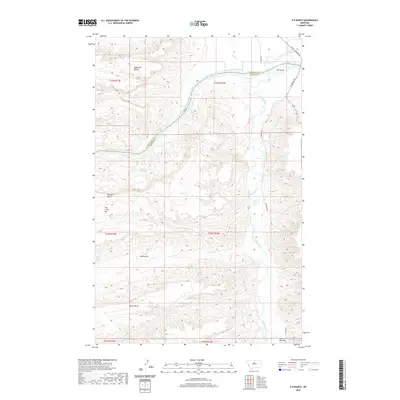
2020 Map of P N Ranch
USGS Topo · Published 2020About this map
The Missouri River and Judith River converge at the northern edge of this Fergus County and Chouteau County landscape, defining a region where water and high plateau terrain dictate human movement. The confluence is marked by PN Island and the turbulent Deadman Rapids, areas once central to river navigation and transport. Farther south, the Judith River winds through a series of dramatic geographic depressions and flat-topped elevations including The Big Sag, The Little Sag, and Evers Bench. Modern access to these reaches is traced via PN Bridge Rd and Judith Landing Rd, which follow the historical paths between the riverbanks and upland benches. Land-use patterns in this section of Montana are tied to reliable water sources like Nelson Springs and Cow Camp Spring, supporting the rangeland character that defines the area near the unique Hole-in-the-Wall formation.
Find a feature on this map
23 named features on this map. Tap any name to fly to it.
Don’t see what you’re looking for? This feature index may not catch every label — zoom into the map to look around manually.
Map Details
Editions of this 2020 P N Ranch Map
This is the sole edition of this map. No revisions or reprints were ever made.
Other maps of this area

1953 · Starve Out Flat
USGS Topo · 1:24,000

1954 · P N Ranch
USGS Topo · 1:24,000

1954 · Iliad
USGS Topo · 1:24,000

1954 · Council Island
USGS Topo · 1:24,000

1954 · Lewistown
USGS Topo · 1:250,000

1959 · Lewistown
USGS Topo · 1:250,000

1964 · Wolf Creek Falls
USGS Topo · 1:24,000

1964 · Pigtail Coulee
USGS Topo · 1:24,000

1964 · Anderson Bridge
USGS Topo · 1:24,000

1964 · Spring Coulee
USGS Topo · 1:24,000