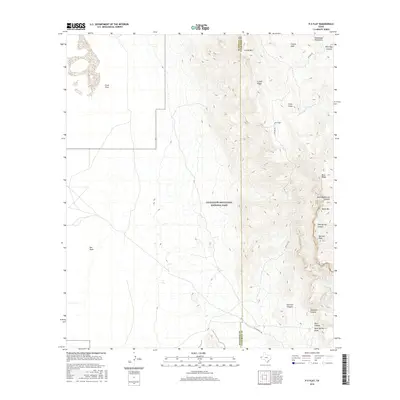
2016 Map of P X Flat
USGS Topo · Published 2016About this map
The high peaks and deep drainages of Guadalupe Mountains National Park dominate this landscape, where the terrain shifts abruptly from the low Salt Basin and Crow Flats in the west to the vertical rises of the Guadalupe range. This area preserves a difficult and remote portion of West Texas history, marked by the historic path of the Butterfield Trl, an essential mid-19th-century overland mail route. Along the eastern edge, the topography is defined by significant summits like Bush Mtn and Bartlett Peak, while the northern portion contains the eponymous P X Flat and Cutoff Ridge. Water sources are sparse but critical in this environment, represented by named features such as Goat Spring and Cox Tank. The map also captures the rugged drainage systems of Pine Spring Canyon and Shumard Canyon, which carve through the ancient limestone reef.
Find a feature on this map
24 named features on this map. Tap any name to fly to it.
Don’t see what you’re looking for? This feature index may not catch every label — zoom into the map to look around manually.
Map Details
Editions of this 2016 P X Flat Map
This is the sole edition of this map. No revisions or reprints were ever made.
Other maps of this area

1933 · Guadalupe Peak
USGS Topo · 1:48,000

1935 · El Paso Gap
USGS Topo · 1:62,500

1936 · El Paso Gap
USGS Topo · 1:48,000

1940 · El Paso Gap
USGS Topo · 1:62,500

1940 · Guadalupe Peak
USGS Topo · 1:62,500

1951 · Dell City
USGS Topo · 1:62,500

1954 · Carlsbad
USGS Topo · 1:250,000

1954 · Van Horn
USGS Topo · 1:250,000

1958 · Van Horn
USGS Topo · 1:250,000

1958 · Carlsbad
USGS Topo · 1:250,000