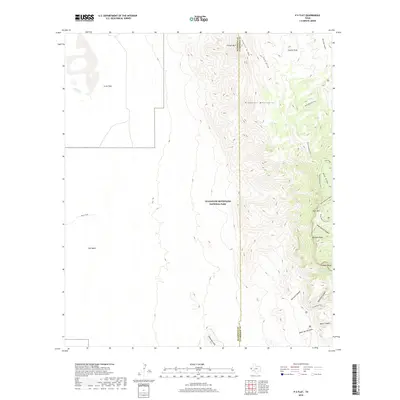
2019 Map of P X Flat
USGS Topo · Published 2019About this map
Guadalupe Mountains National Park dominates this high-altitude landscape, where the rugged topography of the Brokeoff Mountains meets the wide expanse of the Salt Basin. This 2019 survey documents a dramatic transition in terrain along the border of Hudspeth and Culberson Counties. High points like Bartlett Peak, Shumard Peak, and Bush Mtn tower over deep drainages including Shumard Canyon and Shirttail Canyon.
Find a feature on this map
27 named features on this map. Tap any name to fly to it.
Don’t see what you’re looking for? This feature index may not catch every label — zoom into the map to look around manually.
Map Details
Editions of this 2019 P X Flat Map
This is the sole edition of this map. No revisions or reprints were ever made.
Other maps of this area

1933 · Guadalupe Peak
USGS Topo · 1:48,000

1935 · El Paso Gap
USGS Topo · 1:62,500

1936 · El Paso Gap
USGS Topo · 1:48,000

1940 · El Paso Gap
USGS Topo · 1:62,500

1940 · Guadalupe Peak
USGS Topo · 1:62,500

1951 · Dell City
USGS Topo · 1:62,500

1954 · Carlsbad
USGS Topo · 1:250,000

1954 · Van Horn
USGS Topo · 1:250,000

1958 · Van Horn
USGS Topo · 1:250,000

1958 · Carlsbad
USGS Topo · 1:250,000