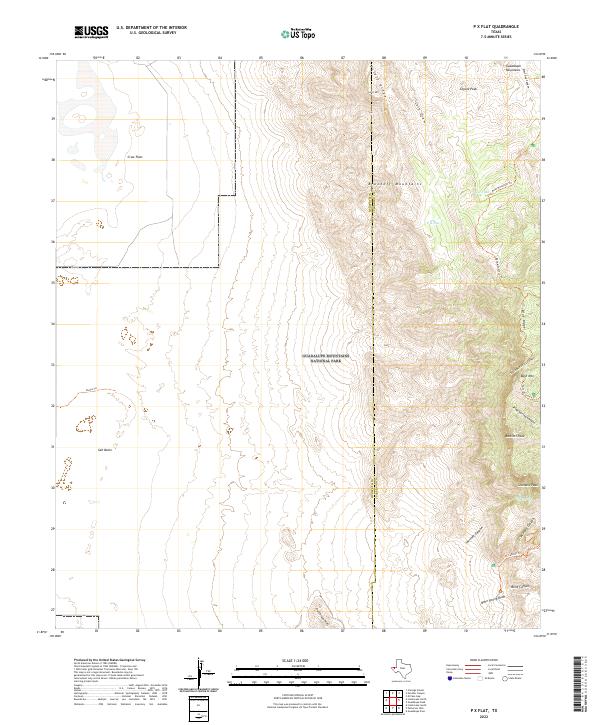
2022 Map of P X Flat
USGS Topo · Published 2022About this map
The high-altitude desert and limestone peaks of the Guadalupe Mountains National Park dominate this landscape along the Hudspeth and Culberson county line. The terrain transitions sharply from the low-lying Salt Basin and Crow Flats in the west to the towering summits of Bush Mtn, Bartlett Peak, and Shumard Peak in the east. This section of the range is defined by deep canyons such as Pine Spring Canyon and South McKittrick Canyon, which carve through the ancient reef formation. Backcountry access is marked by several established routes, including the Bush Mountain Trl and El Capitan Trl. Water sources are sparse in this arid environment, making features like Goat Spring, Cox Tank, and the seasonal drainage of Bone Spring Draw critical landmarks for navigation and local history.
Find a feature on this map
28 named features on this map. Tap any name to fly to it.
Don’t see what you’re looking for? This feature index may not catch every label — zoom into the map to look around manually.
Map Details
Editions of this 2022 P X Flat Map
This is the sole edition of this map. No revisions or reprints were ever made.
Other maps of this area

1933 · Guadalupe Peak
USGS Topo · 1:48,000

1935 · El Paso Gap
USGS Topo · 1:62,500

1936 · El Paso Gap
USGS Topo · 1:48,000

1940 · El Paso Gap
USGS Topo · 1:62,500

1940 · Guadalupe Peak
USGS Topo · 1:62,500

1951 · Dell City
USGS Topo · 1:62,500

1954 · Carlsbad
USGS Topo · 1:250,000

1954 · Van Horn
USGS Topo · 1:250,000

1958 · Van Horn
USGS Topo · 1:250,000

1958 · Carlsbad
USGS Topo · 1:250,000