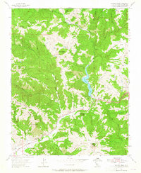
1955 Map of Pacheco Peak
USGS Topo · Published 1965About this map
Pacheco Pass Highway carves through the Diablo Range, connecting the Santa Clara Valley to the Central Valley in this 1955 survey. The landscape is defined by the complex drainage of Pacheco Lake and the North Fork Pacheco Creek, showing the area before major modern infrastructure expansions altered the pass. Isolated mountain life is centered around family-named outposts such as Dowdy Ranch, O'Connor Ranch, and Shairin Ranch, which dot the canyons and ridges of the San Luis Gonzaga land grant. High peaks like Pacheco Pk and Gulnac Pk overlook a network of seasonal watercourses and steep terrain features, including the dramatic Lovers Leap. This era shows Bell Station as a key waypoint for travelers, representing a vital stop on the historical route through the rugged hills of eastern Santa Clara County.
Find a feature on this map
41 named features on this map. Tap any name to fly to it.
Don’t see what you’re looking for? This feature index may not catch every label — zoom into the map to look around manually.
Map Details
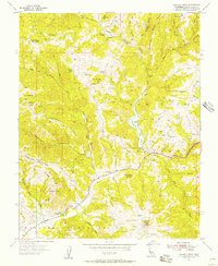
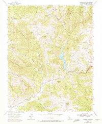
Editions of this 1955 Pacheco Peak Map
4 editions found

Other maps of this area

1919 · Hollister
USGS Topo · 1:48,000

1920 · Pacheco Pass
USGS Topo · 1:62,500

1921 · Gilroy Hot Springs
USGS Topo · 1:62,500

1921 · Hollister
USGS Topo · 1:62,500

1922 · Quien Sabe
USGS Topo · 1:62,500

1923 · Hollister
USGS Topo · 1:62,500

1939 · Gilroy Hot Springs
USGS Topo · 1:62,500

1940 · Gilroy Hot Springs
USGS Topo · 1:62,500

1940 · Hollister
USGS Topo · 1:62,500

1940 · Pacheco Pass
USGS Topo · 1:62,500