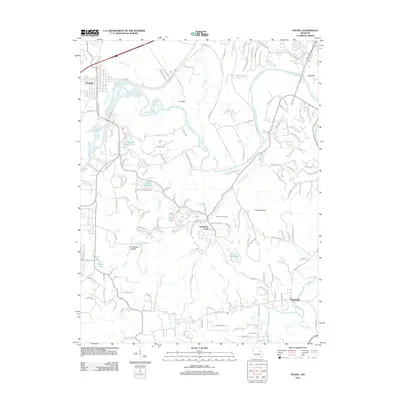
2012 Map of Pacific
USGS Topo · Published 2012About this map
The Pacific settlement and the winding course of the Meramec River anchor this topographic study of the Missouri landscape. This area is characterized by a complex drainage network where Fox Creek, McFall Creek, and La Barque Creek converge toward the river valley. The terrain is marked by significant elevations like Lost Hill and Bald Hill, while the La Barque Hills dominate the central and eastern portions of the quadrangle.
Find a feature on this map
146 named features on this map. Tap any name to fly to it.
Don’t see what you’re looking for? This feature index may not catch every label — zoom into the map to look around manually.
Map Details
Editions of this 2012 Pacific Map
This is the sole edition of this map. No revisions or reprints were ever made.
Other maps of this area

1901 · De Soto
USGS Topo · 1:125,000

1903 · O'Fallon
USGS Topo · 1:125,000

1930 · Pacific SE
USGS Topo · 1:24,000

1931 · Manchester SE
USGS Topo · 1:24,000

1931 · Pacific NE
USGS Topo · 1:24,000

1937 · Pacific
USGS Topo · 1:24,000

1938 · Cedar Hill
USGS Topo · 1:24,000

1940 · Cedar Hill
USGS Topo · 1:24,000

1940 · Eureka
USGS Topo · 1:24,000

1944 · Eureka
USGS Topo · 1:24,000