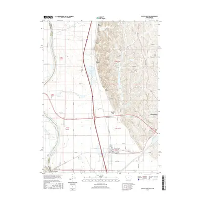
2015 Map of Pacific Junction
USGS Topo · Published 2015About this map
The Missouri River floodplain and the Loess Hills of Mills County meet in this modern survey, highlighting the complex drainage and transportation networks south of Glenwood. The village of Pacific Junction remains a critical crossroads, situated where the flat river bottom gives way to the rising bluffs. Local history is deeply etched into the landscape through a series of family-named burial grounds, including the Evan Lloyd Cem and Gowen Cem, which are tucked into the drainages of Wall Hollow and Indian Hollow.
Find a feature on this map
94 named features on this map. Tap any name to fly to it.
Don’t see what you’re looking for? This feature index may not catch every label — zoom into the map to look around manually.
Map Details
Editions of this 2015 Pacific Junction Map
This is the sole edition of this map. No revisions or reprints were ever made.
Other maps of this area

1935 · Nehawka
USGS Topo · 1:48,000

1940 · Nehawka
USGS Topo · 1:62,500

1954 · Omaha
USGS Topo · 1:250,000

1955 · Nebraska City
USGS Topo · 1:250,000

1956 · Glenwood
USGS Topo · 1:24,000

1956 · Mineola
USGS Topo · 1:24,000

1956 · Murray
USGS Topo · 1:24,000

1956 · Rock Bluff
USGS Topo · 1:24,000

1956 · Plattsmouth
USGS Topo · 1:24,000

1956 · Pacific Junction
USGS Topo · 1:24,000