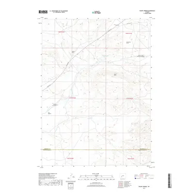
2017 Map of Pacific Springs
USGS Topo · Published 2017About this map
The Continental Divide defines the topography of this high-elevation landscape, where the historic westward migration route crosses the Summit of the Original South Pass. This section of the trail is marked by the Charlotte Dansie Memorial Gravesite, a poignant reminder of the early travelers who navigated through South Pass toward Pacific Springs. The terrain is characterized by a series of drainages and landmarks that dictated the path of the trail, including the broad Hay Meadow and the prominent Pacific Butte.
Find a feature on this map
21 named features on this map. Tap any name to fly to it.
Don’t see what you’re looking for? This feature index may not catch every label — zoom into the map to look around manually.
Map Details
Editions of this 2017 Pacific Springs Map
This is the sole edition of this map. No revisions or reprints were ever made.
Other maps of this area

1953 · South Pass City
USGS Topo · 1:24,000

1955 · Lander
USGS Topo · 1:250,000

1958 · Lander
USGS Topo · 1:250,000

1958 · Parting of the Ways
USGS Topo · 1:62,500

1958 · Essex Mountain
USGS Topo · 1:62,500

1958 · Hay Meadow Reservoir
USGS Topo · 1:24,000

1958 · Pacific Springs
USGS Topo · 1:24,000

1958 · Freighter Gap
USGS Topo · 1:62,500

1958 · Dickie Springs
USGS Topo · 1:24,000

1961 · Lander
USGS Topo · 1:250,000