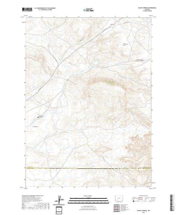
2021 Map of Pacific Springs
USGS Topo · Published 2021About this map
The Continental Divide defines the high-altitude character of this portion of Wyoming, where the headwaters of Pacific Cr begin their long journey toward the Gulf of California. This 2021 update preserves the deep historical layer of the American westward expansion, marking the Summit of the Original South Pass and the notable Charlotte Dansie Memorial Gravesite, a poignant reminder of the pioneers who traversed this landscape. The modern cartography overlays long-established routes like the Lander Pinedale Stage Rd and Dickinson Ave across the high-desert terrain near South Pass. Hydrological features such as Pacific Springs and the Pacific Number 1 Reservoir highlight the critical role of water in this arid environment, while landforms like Pacific Butte remain as permanent sentinels over the old stage roads and trail corridors that shaped the region's development.
Find a feature on this map
22 named features on this map. Tap any name to fly to it.
Don’t see what you’re looking for? This feature index may not catch every label — zoom into the map to look around manually.
Map Details
Editions of this 2021 Pacific Springs Map
This is the sole edition of this map. No revisions or reprints were ever made.
Other maps of this area

1953 · South Pass City
USGS Topo · 1:24,000

1955 · Lander
USGS Topo · 1:250,000

1958 · Lander
USGS Topo · 1:250,000

1958 · Parting of the Ways
USGS Topo · 1:62,500

1958 · Essex Mountain
USGS Topo · 1:62,500

1958 · Hay Meadow Reservoir
USGS Topo · 1:24,000

1958 · Pacific Springs
USGS Topo · 1:24,000

1958 · Freighter Gap
USGS Topo · 1:62,500

1958 · Dickie Springs
USGS Topo · 1:24,000

1961 · Lander
USGS Topo · 1:250,000