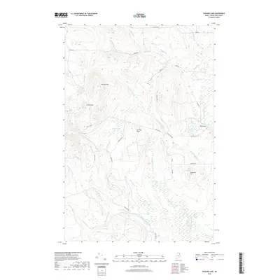
2018 Map of Packard Lake
USGS Topo · Published 2018About this map
Nineteen Mtn and Collins Ridge dominate the northwestern high ground of this Aroostook County landscape, where the terrain is defined by a dense network of brooks and ridges. The North Branch Meduxnekeag River cuts through the southern portion of the sheet, fed by numerous tributaries including Number Nine Stream and Burnt Brook. The geography reflects a transition from high ridges to lower wetland areas, most notably the Advent Swamp and the drainage basins of the South Branch Whitney Brook.
Find a feature on this map
38 named features on this map. Tap any name to fly to it.
Don’t see what you’re looking for? This feature index may not catch every label — zoom into the map to look around manually.
Map Details
Editions of this 2018 Packard Lake Map
This is the sole edition of this map. No revisions or reprints were ever made.
Other maps of this area

1934 · Bridgewater
USGS Topo · 1:48,000

1935 · Howe Brook
USGS Topo · 1:48,000

1935 · Presque Isle
USGS Topo · 1:62,500

1936 · Mars Hill
USGS Topo · 1:48,000

1938 · Bridgewater
USGS Topo · 1:62,500

1939 · Howe Brook
USGS Topo · 1:62,500

1940 · Mars Hill
USGS Topo · 1:62,500

1951 · Mars Hill
USGS Topo · 1:62,500

1951 · Bridgewater
USGS Topo · 1:62,500

1953 · Bridgewater
USGS Topo · 1:50,000