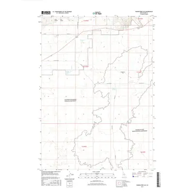
2017 Map of Paddelford Flat
USGS Topo · Published 2017About this map
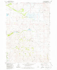
Craters of the Moon National Monument dominates the southern half of this landscape, its expansive lava-carved terrain meeting the high desert sagebrush plains of Paddelford Flat. The transition between the dark volcanic flows and the surrounding scrubland is clearly defined, with Paddelford Flat Lake sitting at the eastern margin of the monument boundary. The northern portion of the quadrangle shows a more managed water system, with the High Line Canal and Wheatly Pond serving the higher elevations near Mints Canyon and Long Canyon. Local transportation is defined by a network of ranch and access roads including Laidlaw Park Rd and Kamimah Rd, which cross the open flats to reach the edges of the preserved volcanic fields. Small water features like Huff Lake and Fish Cr provide critical drainage through this arid interior basin.
Find a feature on this map
22 named features on this map. Tap any name to fly to it.
Don’t see what you’re looking for? This feature index may not catch every label — zoom into the map to look around manually.
Map Details
Editions of this 2017 Paddelford Flat Map
This is the sole edition of this map. No revisions or reprints were ever made.
Other maps of this area

1955 · Idaho Falls
USGS Topo · 1:250,000

1958 · Idaho Falls
USGS Topo · 1:250,000

1972 · Little Park
USGS Topo · 1:24,000

1972 · Laidlaw Butte
USGS Topo · 1:24,000

1972 · Blizzard Mtn South
USGS Topo · 1:24,000

1978 · Craters Of The Moon
USGS Topo · 1:100,000
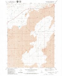
1979 · Paddelford Flat
USGS Topo · 1:24,000
1979 · Pagari Well
USGS Topo · 1:24,000
1979 · Wagon Butte
USGS Topo · 1:24,000
1979 · Lake Hills
USGS Topo · 1:24,000