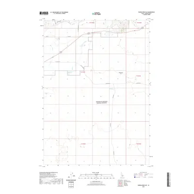
2020 Map of Paddelford Flat
USGS Topo · Published 2020About this map
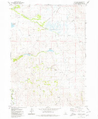
Craters of the Moon National Preserve dominates the southern half of this Idaho landscape, marking a transition from the volcanic fields to the northern agricultural and grazing lands. In the high desert of Blaine County, water management is the primary driver of development, evidenced by the High Line Canal cutting across the northern reaches near Long Canyon. These water systems feed into isolated features like Wheatly Pond and Huff Lake, which stand as vital landmarks in an otherwise dry basin. The northern portion of the quadrangle is defined by Paddelford Flat, an expanse where seasonal water bodies like Paddelford Flat Lake emerge. The road network, including Laidlaw Park Rd and Kamimah Rd, traces the edges of the volcanic preserve, providing access to this remote intersection of geologic history and western ranching infrastructure.
Find a feature on this map
22 named features on this map. Tap any name to fly to it.
Don’t see what you’re looking for? This feature index may not catch every label — zoom into the map to look around manually.
Map Details
Editions of this 2020 Paddelford Flat Map
This is the sole edition of this map. No revisions or reprints were ever made.
Other maps of this area

1955 · Idaho Falls
USGS Topo · 1:250,000

1958 · Idaho Falls
USGS Topo · 1:250,000

1972 · Little Park
USGS Topo · 1:24,000

1972 · Laidlaw Butte
USGS Topo · 1:24,000

1972 · Blizzard Mtn South
USGS Topo · 1:24,000

1978 · Craters Of The Moon
USGS Topo · 1:100,000
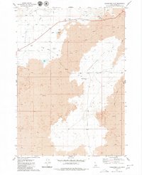
1979 · Paddelford Flat
USGS Topo · 1:24,000
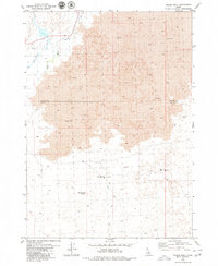
1979 · Pagari Well
USGS Topo · 1:24,000
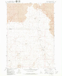
1979 · Wagon Butte
USGS Topo · 1:24,000
1979 · Lake Hills
USGS Topo · 1:24,000