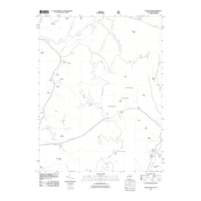
2011 Map of Paddy Knob
USGS Topo · Published 2011About this map
Paddy Knob rises above a landscape defined by sharp ridges and deep hollows along the Virginia and West Virginia border in the early 21st century. The map reveals a cluster of family-named burial sites concentrated in the northwest, including Buzzard Cemetery, Shinaberry Cemetery, and Dilly Cemetery, providing a roadmap for genealogists tracing local lineage. The drainage patterns of Knapp Creek and Back Creek dictate the layout of the sparse road network, which navigates around high points like Slate Lick Knob and Mad Sheep Ridge. Public land use is evident through the inclusion of the Paddy Knob Lookout Tower and the Bird Run Campground, marking this as a place for both forest management and recreation. The topographic detail captures the isolated character of places like Kent Simmons Hollow and Bear Hollow.
Find a feature on this map
49 named features on this map. Tap any name to fly to it.
Don’t see what you’re looking for? This feature index may not catch every label — zoom into the map to look around manually.
Map Details
Editions of this 2011 Paddy Knob Map
This is the sole edition of this map. No revisions or reprints were ever made.
Other maps of this area

1901 · Monterey
USGS Topo · 1:125,000

1922 · Cass
USGS Topo · 1:48,000

1923 · Warm Springs
USGS Topo · 1:48,000

1924 · Cass
USGS Topo · 1:62,500

1926 · Warm Springs
USGS Topo · 1:62,500

1941 · Monterey
USGS Topo · 1:62,500

1944 · Monterey
USGS Topo · 1:62,500

1946 · Warm Springs
USGS Topo · 1:62,500

1946 · Williamsville
USGS Topo · 1:62,500

1949 · Charlottesville
USGS Topo · 1:250,000