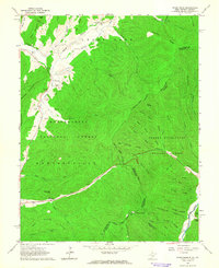
1961 Map of Paddy Knob
USGS Topo · Published 1964About this map
Wesley Chapel sits along the northern edge of this high-mountain landscape, serving as a landmark in a terrain defined by deep drafts and ridges along the West Virginia and Virginia border. The settlement of Frost is situated in the southwestern corner, where the valley of Knapp Creek cuts through the ridges of Huntersville and Monongahela National Forest. The geography is remarkably dense with family-named cemeteries such as Dilly Cem, Bussard Cem, and Shinaberry Cem, providing significant evidence of early homesteading and lineage in these remote hollows.
Find a feature on this map
65 named features on this map. Tap any name to fly to it.
Don’t see what you’re looking for? This feature index may not catch every label — zoom into the map to look around manually.
Map Details
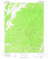
Editions of this 1961 Paddy Knob Map
2 editions found
Other maps of this area

1901 · Monterey
USGS Topo · 1:125,000

1922 · Cass
USGS Topo · 1:48,000

1923 · Warm Springs
USGS Topo · 1:48,000

1924 · Cass
USGS Topo · 1:62,500

1926 · Warm Springs
USGS Topo · 1:62,500

1941 · Monterey
USGS Topo · 1:62,500

1944 · Monterey
USGS Topo · 1:62,500

1946 · Warm Springs
USGS Topo · 1:62,500

1946 · Williamsville
USGS Topo · 1:62,500

1949 · Charlottesville
USGS Topo · 1:250,000