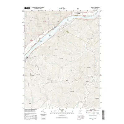
2014 Map of Paden City
USGS Topo · Published 2014About this map
Sistersville and Paden City anchor this section of the river valley, where the Ohio River carves a path between West Virginia and Ohio. The landscape transitions from the developed riverfront streets like Riverside Dr and S 2nd Ave to the complex ridge-and-hollow topography of the interior. These uplands, including Starkey Ridge and Smith Ridge, are marked by several small rural settlements such as Pursley, Kidwell, and Luzon. A strong genealogical footprint is visible through numerous burial grounds, including Oakwood Cem and Locust Grove Cem, often situated on high ground overlooking the creek valleys. The drainage patterns of Middle Island Creek and its many tributaries, such as Pursley Cr and Point Pleasant Cr, dictate the layout of secondary roads like WV-18 and Adonis Ridge Rd, which follow the natural contours of the West Virginia hills.
Find a feature on this map
104 named features on this map. Tap any name to fly to it.
Don’t see what you’re looking for? This feature index may not catch every label — zoom into the map to look around manually.
Map Details
Editions of this 2014 Paden City Map
This is the sole edition of this map. No revisions or reprints were ever made.
Other maps of this area

1905 · West Union
USGS Topo · 1:62,500

1905 · New Matamoras
USGS Topo · 1:62,500

1906 · Saint Marys
USGS Topo · 1:62,500

1906 · New Martinsville
USGS Topo · 1:62,500

1924 · St Marys
USGS Topo · 1:62,500

1924 · New Martinsville
USGS Topo · 1:62,500

1924 · New Matamoras
USGS Topo · 1:62,500

1924 · West Union
USGS Topo · 1:62,500

1926 · New Martinsville
USGS Topo · 1:62,500

1926 · New Matamoras
USGS Topo · 1:62,500