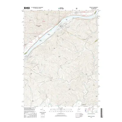
2016 Map of Paden City
USGS Topo · Published 2016About this map
Paden City sits prominently along the Ohio River in this 2016 survey, occupying a flat stretch of land across from Witten Towhead and the dense slopes of the Wayne National Forest. The map detail captures the transition from the riverfront industry and grid of the city to the winding ridges of the West Virginia interior. Following Paden Fork and the Willows Fork inland reveals a landscape defined by steep hills and deep hollows, such as Laney Hollow, where small communities and family cemeteries remain tucked away.
Find a feature on this map
142 named features on this map. Tap any name to fly to it.
Don’t see what you’re looking for? This feature index may not catch every label — zoom into the map to look around manually.
Map Details
Editions of this 2016 Paden City Map
This is the sole edition of this map. No revisions or reprints were ever made.
Other maps of this area

1905 · West Union
USGS Topo · 1:62,500

1905 · New Matamoras
USGS Topo · 1:62,500

1906 · Saint Marys
USGS Topo · 1:62,500

1906 · New Martinsville
USGS Topo · 1:62,500

1924 · St Marys
USGS Topo · 1:62,500

1924 · New Martinsville
USGS Topo · 1:62,500

1924 · New Matamoras
USGS Topo · 1:62,500

1924 · West Union
USGS Topo · 1:62,500

1926 · New Martinsville
USGS Topo · 1:62,500

1926 · New Matamoras
USGS Topo · 1:62,500