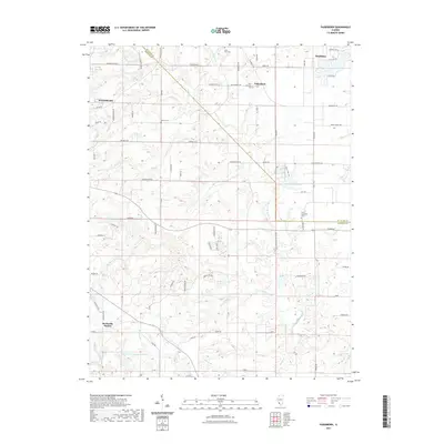
2021 Map of Paderborn
USGS Topo · Published 2021About this map
The rolling agricultural landscape of ST. Clair Co and Monroe Co is defined by its small German-heritage settlements and scattered rural cemeteries. Paderborn sits as a central junction, marked by Saint Michaels Cem, while the larger town of Smithton occupies the northeast corner of the quadrangle. The terrain is deeply etched by a network of waterways, including the winding Prairie du Long Creek and its various tributaries like Rockhouse Creek and Kopp Creek. These drainage patterns have historically shaped the placement of farmsteads and the winding local road network that follows the contours of the land.
Find a feature on this map
84 named features on this map. Tap any name to fly to it.
Don’t see what you’re looking for? This feature index may not catch every label — zoom into the map to look around manually.
Map Details
Editions of this 2021 Paderborn Map
This is the sole edition of this map. No revisions or reprints were ever made.
Other maps of this area
1910 · Waterloo
USGS Topo · 1:62,500
1912 · New Athens
USGS Topo · 1:62,500
1912 · Baldwin
USGS Topo · 1:62,500
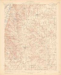
1913 · Waterloo
USGS Topo · 1:62,500
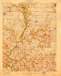
1914 · Baldwin
USGS Topo · 1:62,500
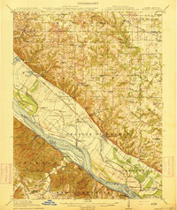
1915 · Renault
USGS Topo · 1:62,500
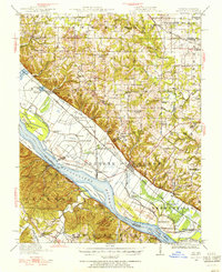
1940 · Renault
USGS Topo · 1:62,500
1942 · Baldwin
USGS Topo · 1:62,500

1949 · Saint Louis
USGS Topo · 1:250,000
1951 · Columbia
USGS Topo · 1:24,000