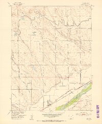
1952 Map of Padroni
USGS Topo · Published 1983About this map
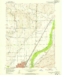
Padroni serves as the primary hub of this eastern Colorado landscape, situated along the Chicago Burlington and Quincy railroad line. The settlement pattern is defined by a sophisticated water management system designed for prairie agriculture, featuring the Sterling North Levee and the North Sterling Canal Levee. These structures, alongside various lateral ditches like North Sterling Lateral No 10, redirect the flows of Sevenmile Creek and Cedar Creek to support the surrounding ranching and farming operations.
Find a feature on this map
22 named features on this map. Tap any name to fly to it.
Don’t see what you’re looking for? This feature index may not catch every label — zoom into the map to look around manually.
Map Details
Editions of this 1952 Padroni Map
2 editions found
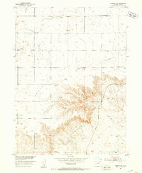
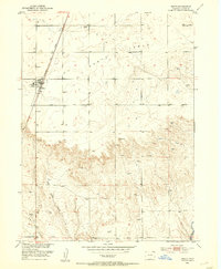
Other maps of this area
1951 · Sterling North
USGS Topo · 1:24,000
1951 · Galien
USGS Topo · 1:24,000
1951 · Atwood NE
USGS Topo · 1:24,000
1951 · Iliff
USGS Topo · 1:24,000
1951 · Padroni NW
USGS Topo · 1:24,000
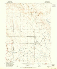
1952 · Padroni
USGS Topo · 1:24,000
1953 · Peetz
USGS Topo · 1:24,000

1954 · Sterling
USGS Topo · 1:250,000

1958 · Sterling
USGS Topo · 1:250,000

1978 · Kirchnavy Butte
USGS Topo · 1:24,000