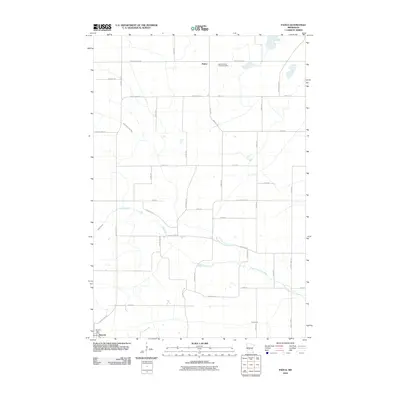
2010 Map of Padua
USGS Topo · Published 2010About this map
Saint Anthony Padua Cemetery serves as a central landmark for the unincorporated community of Padua, highlighting the deep roots of this agricultural landscape in Stearns County. This rural township is defined by a rigorous grid of section-line roads, such as County Hwy-18 and County Hwy-27, which carve through the plains to reach family farmsteads and the outskirts of Brooten. The area's natural drainage is managed by a series of meandering waterways, including Sedan Brook and the North Fork Crow River, which wind through the township before eventually reaching the Skunk River. The southwest corner of the map captures a portion of Brooten, including the Brooten Post Office, where the transition from open farmland to small-town settlement begins.
Find a feature on this map
41 named features on this map. Tap any name to fly to it.
Don’t see what you’re looking for? This feature index may not catch every label — zoom into the map to look around manually.
Map Details
Editions of this 2010 Padua Map
This is the sole edition of this map. No revisions or reprints were ever made.
Other maps of this area

1953 · Saint Cloud
USGS Topo · 1:250,000

1957 · Saint Cloud
USGS Topo · 1:250,000

1958 · Saint Cloud
USGS Topo · 1:250,000

1965 · Westport
USGS Topo · 1:24,000

1965 · Sauk Centre
USGS Topo · 1:24,000

1965 · Padua
USGS Topo · 1:24,000

1965 · Sedan
USGS Topo · 1:24,000

1965 · Raymond Lake
USGS Topo · 1:24,000

1965 · Elrosa
USGS Topo · 1:24,000

1967 · Belgrade
USGS Topo · 1:24,000