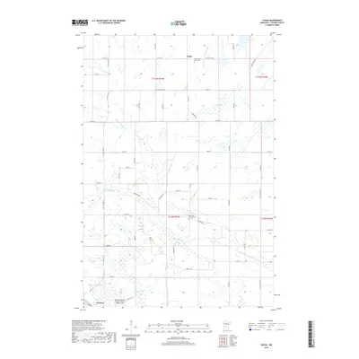
2019 Map of Padua
USGS Topo · Published 2019About this map
Padua and the northern outskirts of Brooten define this agricultural landscape in Stearns County, where the grid of rural roads meets the winding courses of the N Fork Crow River and Skunk River. The area is characterized by its glacial hydrology, featuring numerous small wetlands and drainage projects like County Ditch Number Fortysix. Local history is centered around quiet landmarks such as the Saint-Anthony-Padua Cem and the Big Grove Church Cem, which serve as long-standing community anchors for the surrounding farmsteads. Transportation and regional connectivity are represented by the Brooten Municipal Airport/John O Bohmer Field in the southwest corner. The map illustrates a contemporary rural Minnesota environment where modern infrastructure, like Co ST Aid HWY 18, overlays a traditional landscape of family farms and small water bodies such as Sand Lake and Sedan Brook.
Find a feature on this map
56 named features on this map. Tap any name to fly to it.
Don’t see what you’re looking for? This feature index may not catch every label — zoom into the map to look around manually.
Map Details
Editions of this 2019 Padua Map
This is the sole edition of this map. No revisions or reprints were ever made.
Other maps of this area

1953 · Saint Cloud
USGS Topo · 1:250,000

1957 · Saint Cloud
USGS Topo · 1:250,000

1958 · Saint Cloud
USGS Topo · 1:250,000

1965 · Westport
USGS Topo · 1:24,000

1965 · Sauk Centre
USGS Topo · 1:24,000

1965 · Padua
USGS Topo · 1:24,000

1965 · Sedan
USGS Topo · 1:24,000

1965 · Raymond Lake
USGS Topo · 1:24,000

1965 · Elrosa
USGS Topo · 1:24,000

1967 · Belgrade
USGS Topo · 1:24,000