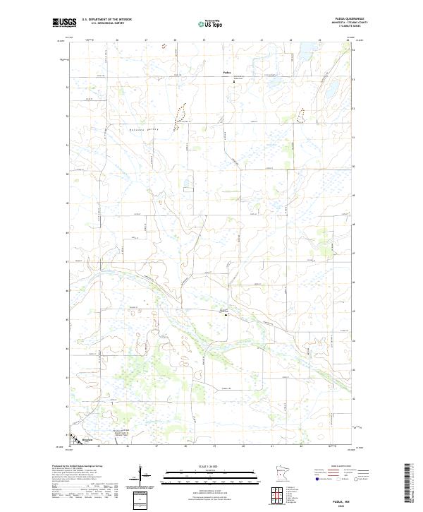
2022 Map of Padua
USGS Topo · Published 2022About this map
Bonanza Valley defines the agricultural character of this Stearns County landscape, where the prairie is organized by an orderly grid of section lines and rural roads. Small settlements such as Padua and a portion of Brooten anchor the community, providing focal points for the surrounding farmsteads. Genealogical interest is centered on the Saint-Anthony-Padua Cem near the northern border and the Big Grove Church Cem further south, both situated near historic section corners.
Find a feature on this map
42 named features on this map. Tap any name to fly to it.
Don’t see what you’re looking for? This feature index may not catch every label — zoom into the map to look around manually.
Map Details
Editions of this 2022 Padua Map
This is the sole edition of this map. No revisions or reprints were ever made.
Other maps of this area

1953 · Saint Cloud
USGS Topo · 1:250,000

1957 · Saint Cloud
USGS Topo · 1:250,000

1958 · Saint Cloud
USGS Topo · 1:250,000

1965 · Westport
USGS Topo · 1:24,000

1965 · Sauk Centre
USGS Topo · 1:24,000

1965 · Padua
USGS Topo · 1:24,000

1965 · Sedan
USGS Topo · 1:24,000

1965 · Raymond Lake
USGS Topo · 1:24,000

1965 · Elrosa
USGS Topo · 1:24,000

1967 · Belgrade
USGS Topo · 1:24,000